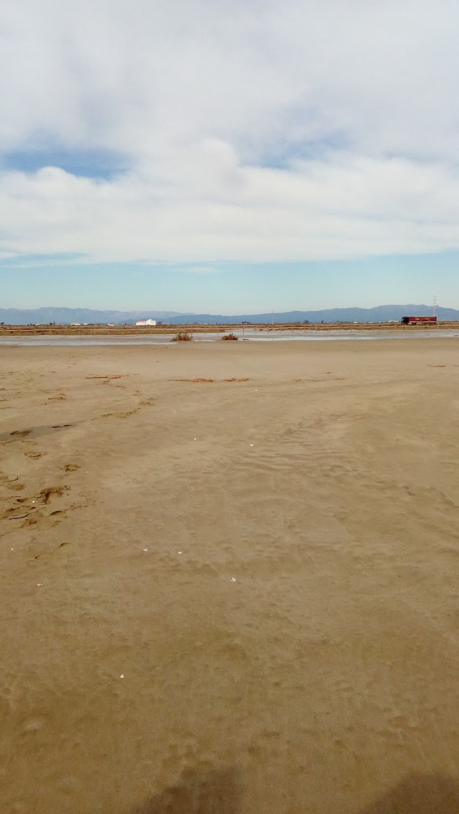
Sand was taken from Caddebostan Beach in Istanbul.
Koordinates: 40.9630601, 29.0585858
Friday, 24 February 2017
This is Prat d'en Forès beach in Cambrils. Spain.
Horitzon view
Left view
Back view
Right view
Thursday, 23 February 2017
Hi there! We are the students from Canet de Mar and we are back! We already done the sampling on the beach, completed the worksheet and here are our pictures, I hope you like it!
I'm happy to see so much progress! And thank you so much for your photos!!!! Now I understand why by Santa Monica beach (USA) I see strange coloured lights, there's a funfair!
So let's see what your sea looks like...(last update 27th February)
Ups! I'm afraid that some of the coordinates are not quite clear. Ins Priorat 1ºB, Col·legi Cardenal Vidal i Barraquer and Private Fenerbahçe College need to add more decimals to their coordinates. If you check on Google Earth you'll see that some of you are a bit inland and others in the middle of the sea. The Earth is a rather big planet and decimals are important!
I see that the Sea Surface Temperature (SST) you have measured is quite similar to the average of the last 14 years, except for Barcelona. It looks like you are having a mild winter there!
And yes, there's really only one ocean interconnected. You can check it out yourself on this video!
About the currents those of the western Mediterranean have got it right, the Liguro-Provençal current passes by you doorstep. However in the case of Istanbul you are a bit far away from the Gulf Current. But you are right about the Bosphorus strait it connects the Black and Marmara seas. The Black sea receives more freshwater from rain and rivers that what it loses from evaporation, making its sea level higher than the Marmara's. The surplus of water therefore flows through the Bosphorus into the Marmara Sea. Thus two flows through the straits are formed. The upper flow leaves the Black Sea and carries surface water out of it. Meanwhile a bottom flow carries salt water, from the Mediterranean to the Black Sea. (More information here >>)
QUESTION:
If you look at the average SST data of the last 14 years, in Turkey the values are persistently lower than in the wester Mediterranean. Considering that you are all at roughly the same latitude, how is it possible? Do you think the currents at the Bosphorus strait have something to do with it?
Looking forward to your comments!
(Just press on the ‘Comment’ option at the end of this post and leave
your message)
And for those that haven't sent their data, send it as soon as possible and I'll update this post!
Cheers!
Sharky
Update 27th February: Hello South East High School and Ins Sunsi Mora. Thank you for your data! Looking over the SST, Ins Sunsi Mora have a bit of unusual data, are you sure that your monthly average is 27ºC?
So South East High School, thanks to the California Current have similar SST than in the Mediterranean side of Spain although you are closer to the Equator. This is very interesting!
Now we're curious about the results of SST at both ends of the Mediterranean. Fenerbahçe College has made a suggestion. Do you agree with them?
(Just press on "comments" below and leave you message!)
Best wishes! Sharky
Hello from Istanbul, Location of the water temperature taken is Kartal, from the rocks on the sea side, Coordinate where the water temperature was measured: 40.8852629, 29.1031036
Hello from Falset,
We are the 1st ESO B class of Ins Priorat
Our beach is Platja de l'Aluet from Amposta
GPS coordenates: 40º 38' 06'' N 00º 44' 59'' E
Hello! We are 1st ESO A from INS Priorat in Falset.
These photos are taken from the Aluet Beach, in Amposta.
Coordenates GPS 40º 38' 12'' N 0ª 45' 5'' E
1. Horizon sight
2. Left sight
3. Right sight
4. Back sight
This is our graphic:
Thursday, 9 February 2017
Activity 1
GPS Coordinates of the Santa Monica Beach Latitude: 34.008313 Longitude: -118.496153
Temperature of water: 15 degrees Celsius
Coordinates of where the water was found Latitude: 34.008336 Longitude: -118.496556
Congratulations to the schools for their presentations and for keeping to the schedule! Those who haven't put up theirs yet, please do it as soon as possible. I'm looking forward to meeting you TOO!
Also remember to label your posts! Those who have forgotten to do so can edit their post again and add the information. Thank you!
We are moving on to the next activity.
Activity nº 2: The Water Objective: complete the form The Water >>
Source of data:
Survey
Experiments in the classroom
Internet
(Teachers will supply you with the information about the survey, experiments and webpages) Information of the post: After the survey you can already post the photos of the beach you are studying along with the name of the beach, town, GPS coordinates and graph of the monthly average Sea Surface Temperature
Cala Sant Francesc beach is wide and very beautiful. On the right there is a stone wall and if you look on the left, there is a rocky area and a door which has access to a path along the coast. In the middle, there is a sandy beach where people can sunbathe and go for a swim.
THE WATER:
photo number 5
Secchi Disc Data:
Depth Secchi Disc (Value A) : 17 m
Depth Secchi Disc (Value B): 17 m
Mean Depth: 17m
GPS: Lat. 41.672559/ Long.2.796407
Lat: N 41º 40' 21.2118"/ Long: E 2º 47' 47.0646" ..... on the boat
number 6: Picture of Secchi Disc
Temperature sea water surface: 11ºC
Time: 12:15h
Date : 10/03/16
GPS: : Lat. 41.679167 / Long.2.8077778
Lat. N 41º40'45'' / Long. E 2º48'28'' .....on the beach
photo number 7
We wrapped the thermometer in order to protect it and then we attached it to one end of the cane. The cane was provided by a teacher. It was from the forest near the school.
The MODIS Aqua data:
The tides:
the beach of Santa Cristina
desembocadura (the river mouth) del Tordera
After creating the graphic we realized that the tidal range was related to the lunar phases.
the moon phases from <http://www.space.com/images/i/397/i02/moon-phases-101111-02.jpg?1289850890>
Convection currents:
Water density/ Salinity/ Temperature:
Thanks:
to the FP-initial PQPI and their teacher: they arranged the Secchi disk for us. We want to express our gratitude for creating this amazing material for us.
And finally we would like to express our gratitude to Joan Musoll for going with us in his rubber dinghy to help us take the Secchi disk data.